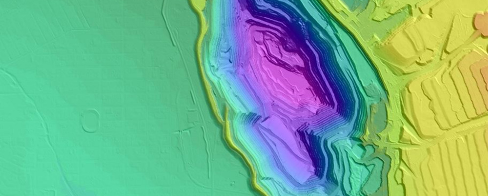
Different forms of elevation data
DEM - The representation of continuous elevation values over a topographic surface by a regular array of sampled z-values, referenced to a common datum. To be expressed as a grid or raster data set. The DEM is ground only representation and excludes vegetation such as trees and shrubs and human constructed features such as sheds and houses.
DSM - surface including ground, vegetation, building and structures defined by either random points or regular grid of spot heights and may include breaklines. Can be in point (ASCII), vector or raster format.
DTM - A topographic model of the earth's surface in digital format represented by mass points and may include breaklines. The DTM is a filtered version of a DSM that represents only bare earth surfaces. The DTM representation of ground includes works such as levees, banks and roads.
What is included in our elevation data?
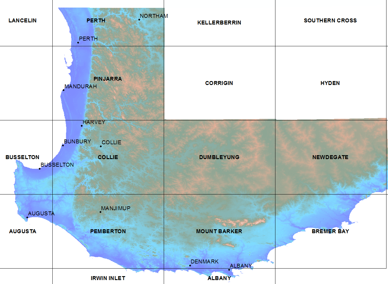
Our elevation data models are derived from a range of capture technologies. DSMs are generated from ortho-mosaics created during the processing of aerial imagery. DTMs derived by stereoscopic photogrammetric processes and semi-automated building and vegetation filtering to achieve a smoother result with remaining some non-ground features. Elevation models available reflect the technology and imagery resolution available at the time of capture and processing.
Typically, Landgate has not edited the DEMs to support hydrological studies.
What options are available?
Supply format
ASCII or BIL (Band Interleaved by Line)
How to access our elevation data
Access options
Contact the Data Delivery team. Data will be supplied under a transactional licence.
All prices are per sqkm including GST.
|
|
Up to 25 sqkm |
25 to 100 sqkm |
100 to 1k sqkm |
1k to 10k sqkm |
10k to 100k sqkm |
x>100k sqkm |
|
1 metre DEM |
$39.90 |
$27.30 |
$13.65 |
$6.85 |
$3.40 |
$2.00 |
|
2 metre DEM |
$19.95 |
$13.65 |
$6.80 |
$3.40 |
$2.00 |
$1.36 |
|
5 metre DEM |
$10.15 |
$6.80 |
$3.40 |
$2.00 |
$1.38 |
$0.95 |
|
10 metre DEM |
$1.36 |
$1.08 |
$0.81 |
$0.57 |
$0.28 |
$0.145 |
|
20m plus DEM |
$0.68 |
$0.55 |
$0.41 |
$0.28 |
$0.145 |
$0.067 |
Digital data extracts are subject to extraction and data costs. DEM extraction costs can vary based on factors such as extent and complexity. Please complete and return a request form for a formal quote.
Need help?
You can contact our Customer Experience team on +61 (0)9273 7683 or email CustomerExperience@Landgate.wa.gov.au for more information on our data and SLIP subscription services.